Senior Hydrogeologist – Groundwater Systems & Recharge Zones
Dr. Amina EL MANSOURI, based in Morocco, has over 18 years of experience specializing in aquifer mapping and recharge assessment across arid and semi-arid zones in North Africa and the Middle East. She leads large-scale hydrogeological projects integrating GIS and water balance analysis to guide sustainable water resource development.
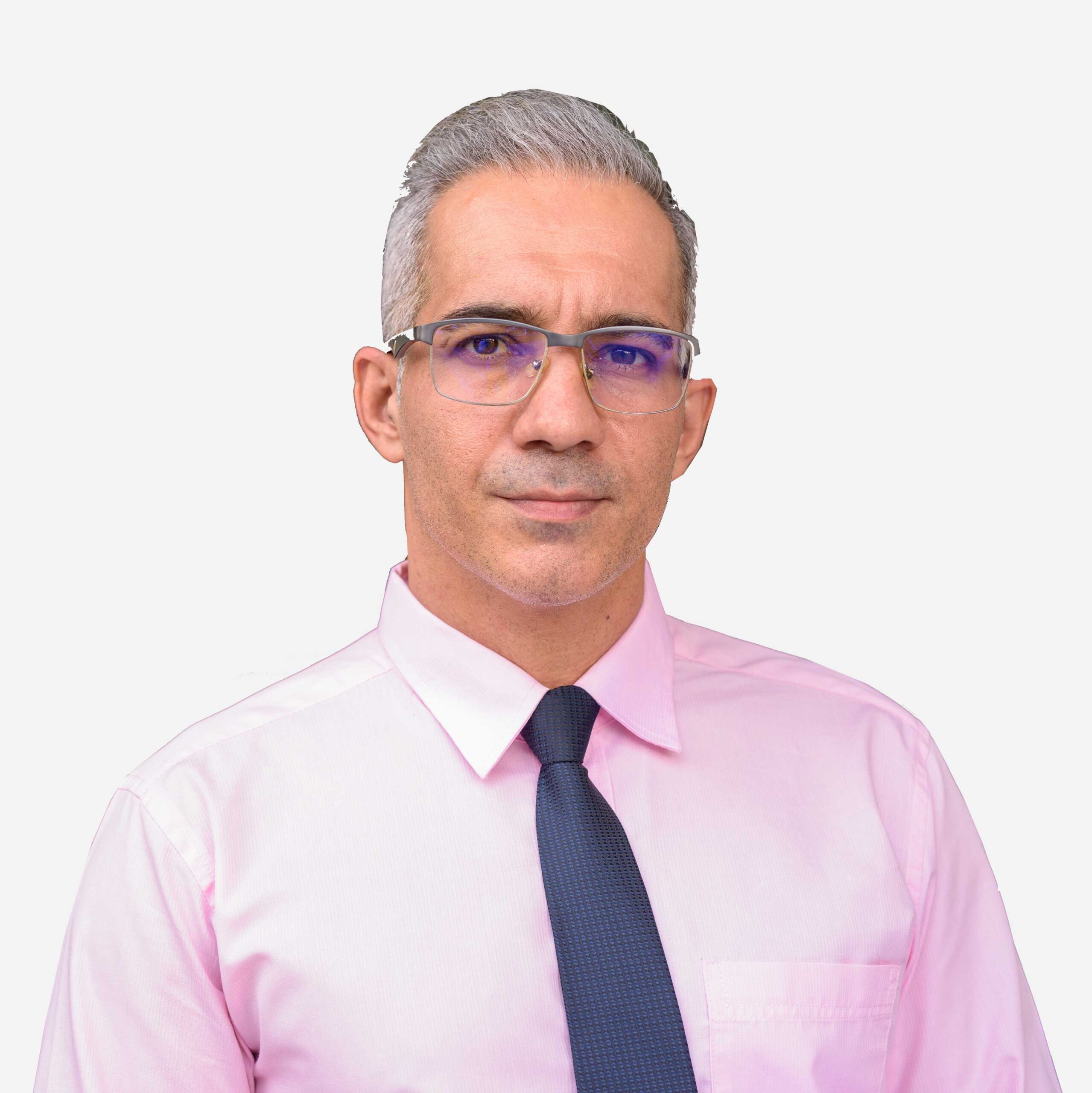
Carlos RIVA, based in Chile, brings 22 years of experience in electrical resistivity tomography (ERT), audio-magnetotellurics (AMT), and seismic imaging. He manages deployment of Blue Depth’s proprietary TriGeoScan technology and integrates satellite and field data for precision groundwater exploration.
Areas of Expertise:
Electrical resistivity tomography
Magnetotellurics & seismic analysis
Remote sensing & multi-method data fusion
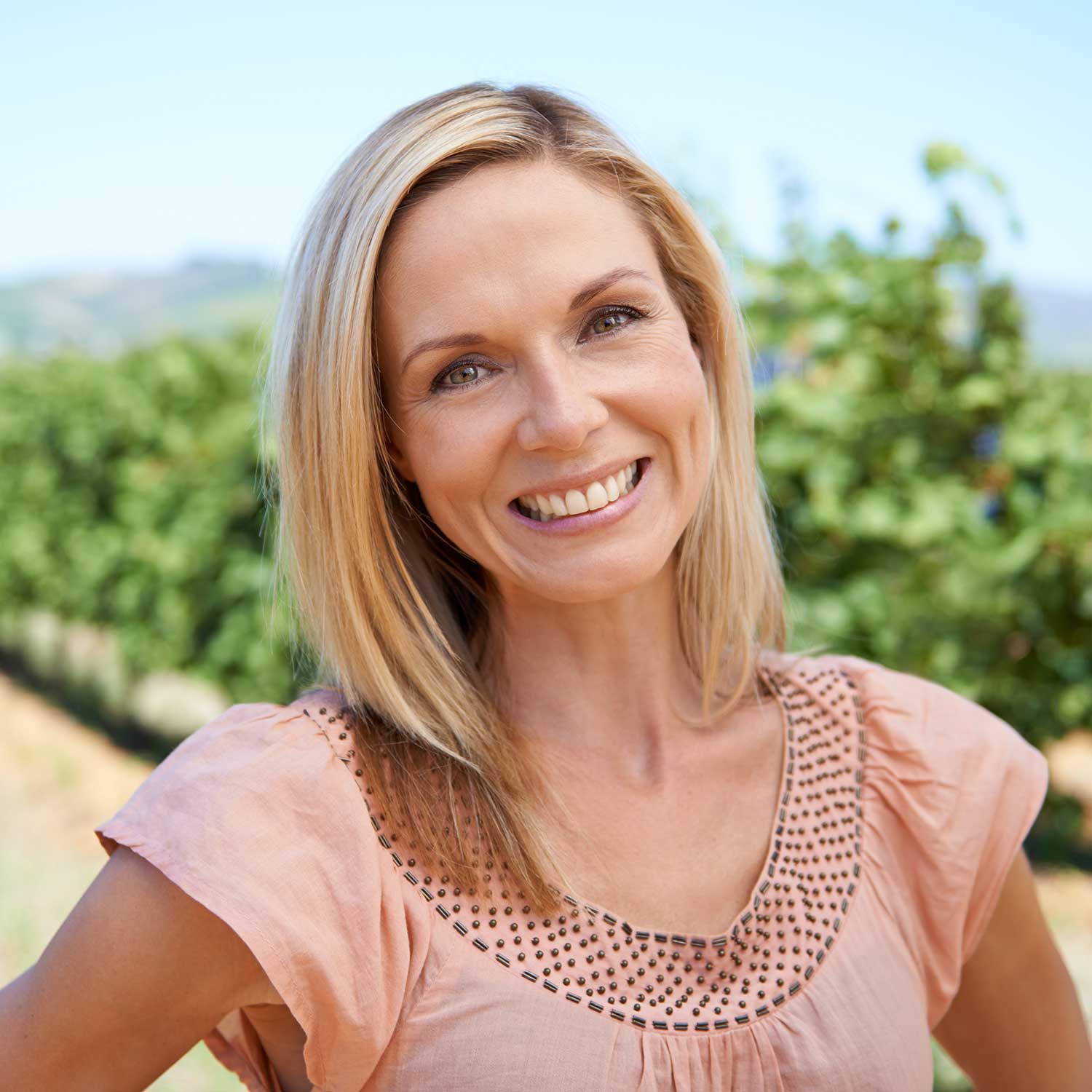
Leila Bensalem
Water Resources Engineer – Climate Resilience & Management
Leila BENSALEM Based in Tunisia, Has 15 years of experience focusing on groundwater risk assessment, climate adaptation, and sustainable resource governance. She supports policy makers and communities by designing long-term monitoring systems and decision-support frameworks.
Areas of Expertise:
Groundwater risk & climate resilience planning
Water management frameworks
Stakeholder engagement & capacity building
What Sets Our Experts Apart
Our global team of hydrogeologists, geophysicists, and engineers brings deep field experience and cutting-edge expertise to every project — ensuring science-driven, sustainable water solutions across all terrains.
Scientific Excellence
Our team members hold advanced degrees and certifications in hydrogeology, geology, environmental engineering, and geophysics.
Field-Proven Experience
From arid zones and fractured rock systems to coastal aquifers and deep sedimentary basins, our experts have worked in over 20 countries and across all types of terrain.
Tech-Savvy Professionals
We use advanced tools and methodologies, including satellite data, AI-assisted modeling, resistivity tomography, magnetotellurics, and our exclusive TriGeoScan system.
Client-Centered Approach
We collaborate closely with local stakeholders, governments, NGOs, and private firms to deliver tailored solutions grounded in real-world needs.
It's not only where you work, but who you work with.
Lorem ipsum dolor sit amet, consectetur adipiscing elit. Ut elit tellus, luctus nec ullamcorper mattis, pulvinar dapibus leo.